


The working model of a geostationary satellite is based on its ability to remain in a fixed position relative to the Earth.
This is achieved by placing the satellite in an orbit that has the same period of rotation as the Earth (24 hours).
As the Earth rotates, the satellite remains in the same position relative to the Earth’s surface, which allows it to provide continuous coverage to a specific geographic region.
Geostationary satellites are primarily used for telecommunications, including television and radio broadcasting, internet services, and telephone communication.
They are also used for weather forecasting, military communication, and tracking ships and planes.
The satellite will be positioned in geostationary orbit, providing continuous and real-time observations of atmospheric conditions, cloud cover, and climate-related phenomena. The project’s primary goal is to enhance our understanding of climate dynamics and improve weather forecasting accuracy.
COMPONENTS REQUIREMENT:-
- Globe Model
- 10RPM Dc Moter
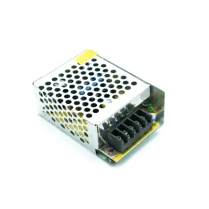
- 12 v 1 A Adapter
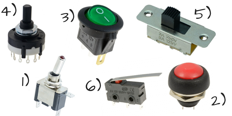
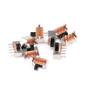
- on off switch
* Product Images are shown for illustrative purposes only and may differ from actual product.
Package Includes :
- 1 x Geostationary Satellite Science Project.


Reviews
There are no reviews yet.